
Arcadia ZIP Codes and Delivery Areas
Four ZIP codes appear in the Arcadia research record, but they do not have equal residential meaning. The Arcadia ZIPs 91006 and 91007 are the verified general-delivery ZIPs. 91066 is described as an Arcadia PO-box ZIP. 91077 is reported in postal datasets as a PO-box or unique ZIP, but its current use and named station should be confirmed one address at a time. USPS delivery geography is built for routing mail, not for drawing the Arcadia city boundary.
| ZIP Code | Arcadia Relationship | Post-Office Context | Notes |
|---|---|---|---|
| 91006 | Much of eastern and northern Arcadia | Arcadia postal facilities; verify station | General delivery area; may cross perceived neighborhood lines |
| 91007 | Western and southern Arcadia | Arcadia postal facilities; verify by address | City Hall uses 91007; mailing ZIP does not prove city limits |
| 91066 | Arcadia PO boxes | Arcadia PO-box context | Not a general residential polygon |
| 91077 | Reported Arcadia PO-box or unique ZIP | Verify current use with USPS | Not a general street ZIP on the research record |
The research did not locate an official downloadable Arcadia postal boundary or post-office-station table. The Arcadia USPS address lookup is decisive for a complete address, while GIS is the better check for municipal parcel geography.
Arcadia’s Two General-Delivery ZIP Codes
91006 and 91007 are the two general ZIP code areas documented for Arcadia. The Arcadia research describes 91006 as covering much of the eastern and northern portion and 91007 as covering western and southern areas. Those descriptions are useful search vocabulary, not a substitute for a verified address. A street can approach or cross a postal edge without changing its name or parcel logic.
Use the full Arcadia street address, city, state, and unit when checking delivery. Then compare the resulting ZIP with the parcel’s situs and city status. An Arcadia ZIP-coded business address can be a useful public affiliation clue, but it does not turn a mailing area into a resident census.
Note: A mailing label that says Arcadia is a USPS convention and does not by itself establish Arcadia incorporation, tax, police, school, or voting jurisdiction.
91066 and 91077 Need Address-Level Proof
Special Arcadia postal codes are easy to overread. The research describes 91066 as PO-box-only and 91077 as a PO-box or unique ZIP reported in postal datasets. Neither should be treated as a general residential map. A PO-box ZIP identifies a delivery arrangement, not the location of a taxable parcel or the people who use the box.
When one of these codes appears in an Arcadia record, verify the exact address in USPS, then check the physical parcel through the Arcadia Zoning Viewer or the county parcel map. Keep the ZIP result labeled as postal evidence. An Arcadia business, agency, or historical record can carry a ZIP that says little about where an individual lives. Since the public USPS tool verifies one address at a time, a researcher should not turn a special code into an invented boundary or resident count.
Verify an Arcadia ZIP With USPS
The official USPS tool supports an address route, a City and State route, and a Cities by ZIP route. The address route is the strongest for an Arcadia ZIP code directory because it tests the complete delivery line rather than a broad city label.
| Arcadia Street Address | Enter the full Arcadia street line, including unit detail when applicable. |
|---|---|
| Arcadia City | Use the mailing city presented by the Arcadia address record. |
| State | Select California for the delivery lookup. |
| Find | Returns the ZIP or ZIP+4 information for the tested address. |
The Arcadia USPS screen below is a delivery verification tool. It does not enumerate residents and does not replace an Arcadia parcel check.
The official USPS ZIP lookup is the source for the address-level result.
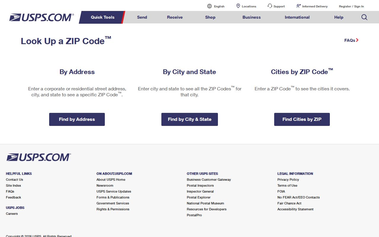
Use the verified result as the postal half of the Arcadia directory, then ask GIS which Arcadia municipal parcel and jurisdiction the address occupies.
Finding Arcadia Residents by ZIP Code
An Arcadia ZIP is a narrowing clue, not a universal search key. The Assessor Portal’s primary fields are AIN and address, and no public ZIP-wide owner list was verified. Voter verification requires a last name, birthdate, house number, and ZIP, so it cannot enumerate a ZIP. DCA’s professional-license search includes city, county, and ZIP filters, but its results are addresses of record. Arcadia’s business-license system can show public business and location evidence.
- Verify the full mailing address and ZIP in USPS before treating the ZIP as current.
- Check the address in the county Assessor Portal and record the AIN and situs.
- Use Arcadia GIS to test whether the parcel lies inside the city and to identify adjacent land.
- Use a ZIP-capable public license or business search only for the record type it actually covers.
- Once the ZIP narrows the question to a street, use the Arcadia street directory workflow for parcel-by-parcel research.
There is no verified Arcadia ZIP-wide assessor search that returns a list of residents. A responsible Arcadia postal directory says that plainly.
Arcadia Business Records Can Filter by ZIP
Arcadia ZIP filtering works best for public records that are designed around an address of record. The California DCA search supports city, county, and ZIP fields, while Arcadia’s business-license system searches public business and location concepts. Search results can identify a business or license relationship and status. They do not prove that a proprietor, licensee, or agent lives at that address.
For an Arcadia location check, use the city’s business-license page and its hosted search. The research notes an interface quirk: users may need to try the four “City of Arcadia” choices until the public user named Weblink-Public appears. Search and navigation controls vary, so use the live page and record the date of the result.
The Arcadia business-license service provides a local ZIP-related public-record route.
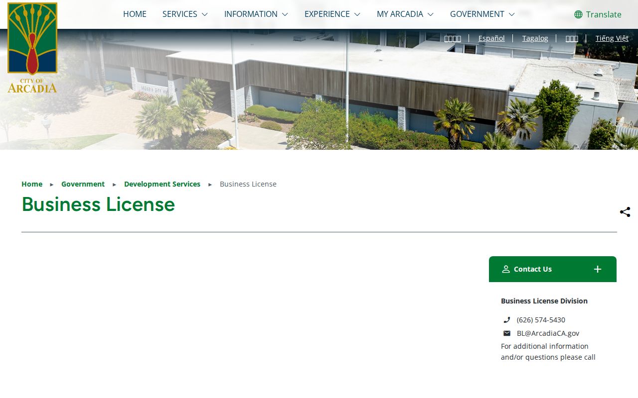
The business-license view is useful for public-facing location research, but it should remain separate from a private household claim.
Arcadia ZIP Boundaries and City Limits
USPS polygons optimize delivery. Municipal boundaries govern city services and local records. A mailing ZIP can cross a city boundary or include county and unincorporated edges. An Arcadia parcel can also carry a mailing convention that feels like a neighboring community. Therefore, a postal directory cannot answer which city tax, police, school, court, or voting jurisdiction applies.
- ZIP
- A USPS delivery area used to route mail. It is not a legal parcel or city line.
- ZIP+4
- An added four-digit delivery refinement for a route, building, or segment within a five-digit ZIP.
- PO-box ZIP
- A code used primarily for post-office boxes rather than a mapped residential area.
- Unique ZIP
- A special code associated with a large institution, agency, or defined delivery customer.
- Carrier route
- A mail-delivery route inside a ZIP, narrower than the ZIP itself.
Boundary check. Verify the delivery line with USPS and the municipal parcel with GIS. Do not infer Arcadia jurisdiction from a ZIP alone.
Arcadia Parcels Keep the Durable Geography
For historical and current land research, the AIN and legal description are more durable than a mailing label. The AIN identifies the assessment parcel. The legal description can preserve the tract, lot, map, or subdivision relationship when a street number changes. The Arcadia Zoning Viewer and county Assessor Map show actual parcel geography; USPS answers delivery geography.
Arcadia’s existing house-number changes are generally disallowed except for new construction, new multifamily units, or a corner-home remodeling that turns the house toward another street. That rule supports current continuity, but it does not prove that every historical number remained unchanged. Before 1923, search Santa Anita, Rancho Santa Anita, Baldwin Ranch, and Los Angeles County as place-name variants.
When a ZIP-coded record names a business or professional, keep the address role visible. A DCA result can be narrowed by city, county, and ZIP, while a local business-license result can connect a business to an Arcadia location. Neither result is a household count. When a parcel is near a ZIP edge, compare the USPS answer with the AIN, situs, legal description, and city map before assigning the record to a municipal neighborhood.
The durable workflow is postal address to USPS result, USPS result to parcel, parcel to city map, and only then to a street, license, or directory source. That sequence keeps an Arcadia ZIP code directory useful without confusing delivery geography with resident identity.
Arcadia’s Pre-ZIP Place Names Matter
Arcadia incorporated in 1903 from land associated with Rancho Santa Anita and Elias J. “Lucky” Baldwin. Earlier people can be indexed under a ranch, township, Santa Anita, or Los Angeles County rather than the later city. Stable printed city directories begin locally in 1923, so earlier ZIP-style searches do not exist. Deeds, census schedules, newspapers, church and cemetery sources, and maps carry the older geography.
When a family record has a modern Arcadia ZIP but an older address, translate the current parcel to its AIN and legal description first. Then search the historical source by the older place label. A postal directory is a modern delivery aid; it cannot rewrite the place names used when the person lived there.
Note: The research found no authoritative dated Arcadia-wide ZIP split or mass readdressing event, so no such event should be assumed.
Cite the date of each postal check. USPS conventions can change, while a deed, directory, or census preserves the geography of its own time. A current Arcadia ZIP code directory can guide a present-day lookup, but historical evidence still depends on the older source and its place vocabulary.