
Looking Up Arcadia Neighbors by Block
An Arcadia block lookup should answer a defined question: which parcels touch the subject lot, which public projects affect them, which listed households appeared in an old edition, or which civic contact serves the area. No official source creates a complete list of everyone who lives nearby. The Arcadia table keeps the map, parcel, election, historical, and community layers separate.
| Source | What It Shows About a Block | Access |
|---|---|---|
| Arcadia Zoning Viewer | Parcel geometry, zoning, adjacent lots, linked permits | Free map browse |
| LA County Assessor | AIN, situs, physical facts, assessment values | Free address or AIN search |
| Voter Street Index | Registered voters arranged by street or precinct | Contract and approved purpose |
| Reverse directory | Listed householder or phone at a dated address | History Room appointment |
| Permits and planning files | Named applicants, owners, contractors, project changes | City files or request |
| Civic organizations | Public officers, events, and contact channels | Voluntary public information |
An Arcadia parcel owner is not automatically the person next door. An Arcadia directory householder is not automatically a current occupant. An Arcadia civic officer is not a membership roster. Arcadia neighbors research stays accurate when each result keeps its source role and date.
Clicking Around an Arcadia Address
The Arcadia Zoning Viewer and county parcel map support an Arcadia adjacent-parcel workflow. The interface is built around map browsing and clicking, not a public “list all neighbors” report. Begin with the Arcadia subject address, select its polygon, and work outward to each touching or facing parcel. Record an AIN before opening the next result so a rear lot, common parcel, or street segment is not mistaken for a home.
- Locate the subject address in the Arcadia Zoning Viewer or the county map.
- Click each adjacent polygon and record AIN, situs, land use, zoning, and any permit link.
- Open the official parcel detail for physical and assessment facts; do not infer an occupant from an owner field.
- Use a planning or permit request for a project file that is not linked in the map.
- For the complete named-street chain, use the Arcadia street directory address workflow.
The Arcadia map tells you which land is adjacent. It does not tell you who is standing on it, who rents a unit, or who receives Arcadia deliveries there.
Build an Arcadia Block From Parcel Facts
An Arcadia block table becomes useful when each row has the same fields. Start with AIN and situs, then add use type, parcel status, square footage, units, year built, assessment facts, legal description, zoning, and permit links. The public Arcadia Assessor Portal accepts AIN or address and does not offer a general owner-name browse. The Arcadia legal description helps distinguish a rear lot, subdivision, or common parcel from the house number a map label suggests.
| AIN | County parcel identifier; keep it with every adjacent-lot row. |
|---|---|
| Situs | Physical address of the parcel, which may differ from a tax-mailing address. |
| Use and status | Assessment classifications and current or active status fields. |
| Legal description | Land wording that bridges address changes and tract or lot history. |
| Permit link | City project history when a selected parcel connects to a public file. |
Arcadia GIS shows neighboring land, not “the neighbors.” That distinction is the central Arcadia block rule.
What the Arcadia Voter Street Index Shows
The public Arcadia LA County voter-status form requires a last name, birthdate, house number, and ZIP. It cannot enumerate voters at an Arcadia block. A purchased Street Index may arrange registered-voter names by street or precinct, but the county limits access by contract and purpose. The general-public street-index route is for political purposes only, with product fees and handling charges set out by the elections office.
Arcadia registered-voter presence can be useful for an approved election, scholarly, journalistic, political, or governmental project. It cannot show children, nonvoters, ballot choices, renters as a class, or every household. Elections Code sections 2188 and 2194 restrict voter data and make commercial use unlawful. Safe at Home participants may have confidential registration.
The LA County voter-file access and fee information explains the permitted product routes.
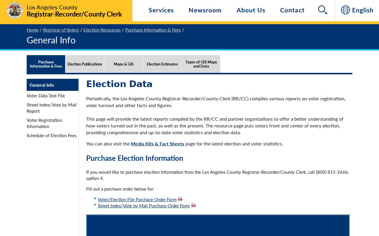
The Arcadia street-index view illustrates why a block result depends on a qualifying purpose rather than casual address curiosity.
Arcadia Neighborhood Names Are Not Rosters
Upper Rancho or Rancho Santa Anita, Santa Anita Oaks, Highland Oaks, Village, Downtown, and First Avenue are useful Arcadia search terms. Their boundaries are informal, planning-derived, or community descriptions. They are not ZIP codes, legal jurisdictions, or proof of association membership. Use the Arcadia parcel and city map to test a location rather than assigning a household to a neighborhood label.
| Public Contact Layer | Useful For | What It Does Not Provide |
|---|---|---|
| Arcadia Historical Society | Heritage context, markers, programs | A current resident roster |
| Friends of the Arcadia Public Library | Library support and public activities | Private member addresses |
| Friends of the Gilb Museum | Museum programs and community history | A household directory |
| Arcadia Chamber of Commerce | Public-facing organizations and proprietors | Private membership contacts |
| School and community groups | Official activities and institutional contacts | Student, family, or member lists |
Arcadia HOAs are private associations. Secretary of State filings may identify an agent or officer, while membership and contact lists remain private unless voluntarily published. For an Arcadia block-watch contact, ask Arcadia Police for the coordinator rather than requesting participant names.
The Arcadia Historical Society is useful for context, not for treating a place label as a people list.
Arcadia Blocks Have More Than One History
Parcel lines show present Arcadia land, while community history can show how an Arcadia block changed. Arcadia Santa Anita Park photographs and records date from 1934-present in the History Room. The 1918-1919 Arcadian Observer documents the U.S. Army Balloon School. The 1942 Santa Anita Pacemaker records the assembly-center community. These institutional sources can locate people who were temporary, confined, or connected to a place without appearing in a conventional household listing.
Use the Arcadia History Room’s directories, yearbooks, clippings, newspapers, census microfilm, and obituary index when an Arcadia block question reaches backward. Search institution names and old place names alongside a person’s surname. Historical material should be cited by title, year, and collection, especially when a web item is only metadata for a physical record.
Arcadia Office for a Block Record
Arcadia City Clerk requests can target permits, planning files, police records, agendas, contracts, licenses, or other existing city documents. Give the department, address, project number, date range, and record type. The California Public Records Act allows inspection and normally calls for an agency determination within ten calendar days, with a written fourteen-day unusual-circumstances extension. Production can take longer and exemptions can require redactions.
Use the county’s department-specific request route for Arcadia county records. The county warns that a centralized request system does not make one department the keeper of another department’s file. Ask the custodian for an existing record, not a newly created Arcadia block roster.
The Los Angeles County public-records request route explains department routing.
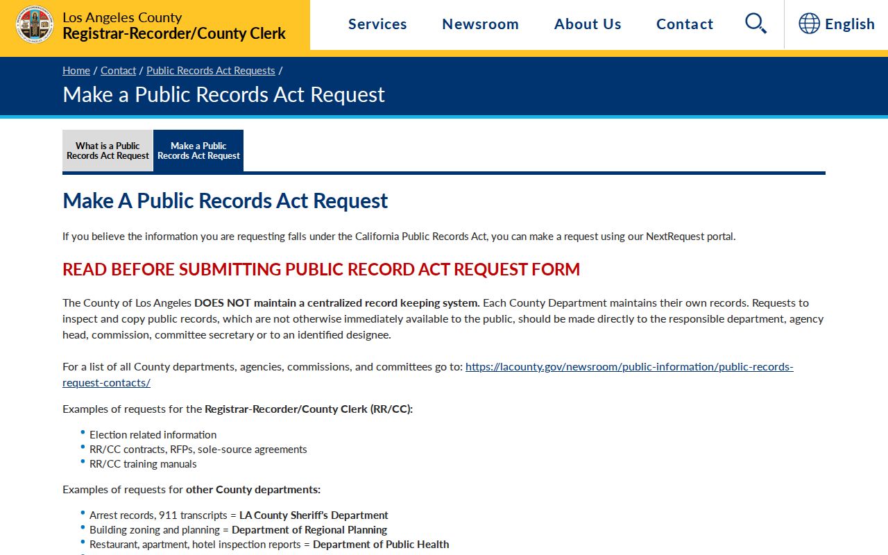
The Arcadia request guidance is helpful when a permit, planning packet, or election record is not exposed through a visible portal.
The RR/CC contact page provides the recorder and elections office routes for Arcadia county-held block records.
Arcadia contact information helps route a request without turning a county office into a general-purpose neighbor list.
Safe at Home Hides Some Arcadia Neighbors
California Safe at Home protections for Arcadia residents provide a substitute mailing address, mail forwarding, and confidential voter registration for eligible survivors and other protected applicants. Government agencies and courts generally must accept the substitute address. The program does not erase old public information, and an Arcadia property legal description can still reveal a parcel location. That is why a missing name or unusual mailing detail should not be treated as an error.
Arcadia residents covered by California’s CCPA and CPRA, Civil Code section 1798.100 et seq., may have rights to know, delete, correct, and opt out of sale or sharing, subject to exemptions. The Delete Act’s DROP platform is the state route for data-broker deletion requests. Opting out of a commercial compilation does not erase the source government record.
The California privacy guidance describes the consumer-rights framework.
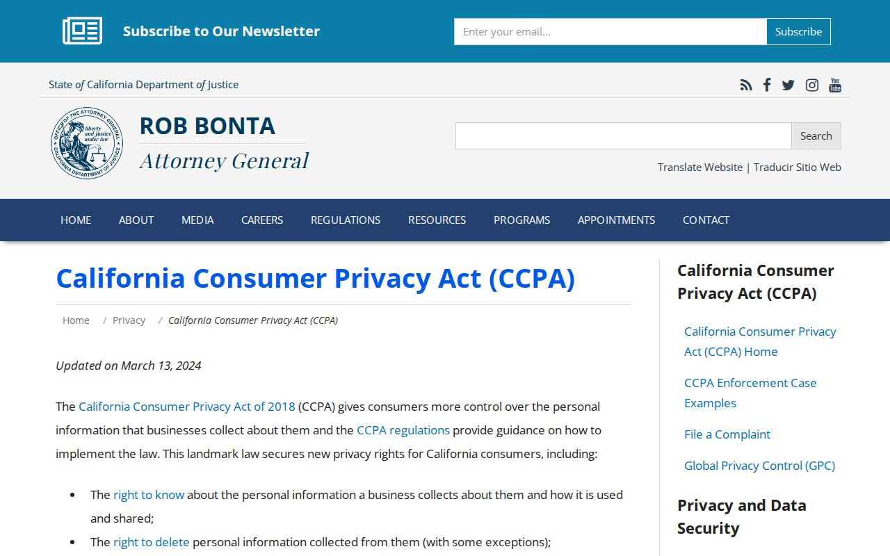
Arcadia privacy rights and confidentiality programs explain why an official block search can be incomplete without anyone having done anything wrong.
Official Arcadia Rolls Versus Compiled Neighbor Tools
Commercial Arcadia neighbor-lookup products compile public and purchased data. They can confuse an owner with an occupant, a mailing address with a situs, or an old association with a current one. Official sources are narrower, but their custodian, fields, and access rules are visible. Use a compiled result only as an unverified lead, never as a final identity or household claim.
| Approach | Strength | Weakness |
|---|---|---|
| Arcadia county parcel and Assessor | AIN, situs, physical and assessment facts | Not a complete household list |
| Arcadia GIS and permits | Adjacent land and project history | People appear only in defined file roles |
| Arcadia History Room directories | Dated listed households and street order | Edition gaps and omissions |
| Arcadia restricted voter products | Registered-voter presence for approved purposes | Contract, legal, and confidentiality limits |
| Arcadia compiled neighbor tools | Quick lead generation | Stale, merged, or misclassified associations |
The official Arcadia route is slower because each record has a purpose. That same narrowness makes a result easier to explain and correct.
Privacy Limits on an Arcadia Neighbor Lookup
Arcadia GIS displays neighboring land, not a complete list of Arcadia neighbors. Renters, lodgers, minor children, utility customers, delivery customers, unlisted people, Safe at Home participants, and confidential voters may not appear. An Arcadia deed party, permit applicant, or listed householder should be named only in the role the record supports.
Lawful use. Neighbor lookups are for getting to know a block, family history, civic questions, and personal safety awareness. Do not use a result to watch, stalk, harass, intimidate, or harm anyone.
Use the Arcadia parcel map for geography, the custodian for a record, and a voluntary public contact channel for community questions. That boundary protects Arcadia neighbors while keeping public land and civic information useful. A careful Arcadia neighbors lookup ends with a source role, not a guessed household.