
Arcadia Street Trail from an Address
A useful Arcadia street directory is built in stages. An Arcadia address identifies a parcel, the parcel supplies an AIN and legal description, and those identifiers connect modern property facts to older land records. The county map can reveal adjacent lots, while the Arcadia Zoning Viewer can connect a selected parcel to zoning and permit history. The recorder works differently: its index begins with a person or entity name and a year, not with the street. Historical Arcadia occupants belong in city directories, census schedules, newspapers, and library files.
- Enter the complete address in the Los Angeles County Assessor Portal. Record the AIN, situs, legal description, year built, and map link.
- Open the Assessor Map and the Arcadia zoning map. Click parcels along one side of the street, then repeat for the opposite side.
- Follow the city parcel link to permit or planning history. Note the project date, applicant, owner, contractor, and work description when the file makes those fields public.
- Use a lawful owner or party clue to move into the Registrar-Recorder/County Clerk’s name-and-year index. Search spelling variants and the relevant deed type.
- For past residents, request the History Room’s reverse sections and pair each address entry with the 1930, 1940, or 1950 census and local newspaper trail.
The Arcadia process is address to AIN, AIN to map, map to project file, name to deed index, then street order to past household. Each handoff preserves an Arcadia source boundary.
Arcadia Street Directory Starts at Assessor Portal
The Arcadia Assessor Portal is the best current starting point because it accepts the physical address or a formatted ten-digit AIN. An Arcadia result shows a situs address, use type, parcel status, tax-rate area, building and land facts, units, beds and baths, square footage, year built or effective year, roll values, base-year information, map index, responsible district, and legal description. Public online owner and mailing fields are suppressed, so the Arcadia portal does not provide an owner-name street browse.
Use the Arcadia search fields as a checklist. A complete Arcadia address may resolve to a parcel even when a street suffix or unit detail differs. An Arcadia AIN is more stable than a street number when a legal description or subdivision history is involved. The map button is a spatial route, not a ZIP-wide resident list.
| Search by AIN or Address | Required single autocomplete field; accepts a formatted AIN or street address. |
|---|---|
| Map Search | Optional route for viewing parcel shapes and neighboring lots. |
| Assessor Internet | Related county access link for property information. |
The county parcel map interface for Arcadia is particularly useful after the first address resolves because it keeps the selected AIN tied to the visible lot pattern.
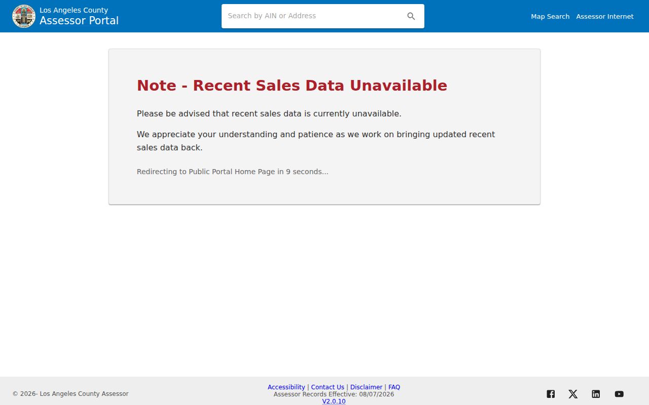
The map view turns a single Arcadia street directory result into an Arcadia parcel-by-parcel work list without claiming that mapped land equals a household.
Browse Arcadia Street Parcels Side by Side
The Arcadia Zoning Viewer is a second Arcadia map layer. The city planning page launches a viewer with address or parcel navigation, pan and zoom, a layer list, identify or click controls, and customizable zoning layers. A selected polygon can lead to building-permit history. The county map supplies parcel context; the city viewer supplies planning context. Neither one lists all people at an address.
Walk an Arcadia street in a fixed order. Start with the first visible parcel, write down its AIN and situs, then move to the next polygon. Keep odd and even sides separate. Mark a rear lot, condominium common parcel, corner parcel, or apparent split for later review. An Arcadia legal description and tract or lot reference can explain why the map shape does not match the number pattern.
The Arcadia zoning and map guidance is the public explanation for the city viewer. Use the live map for the selected parcel, and use a request to the responsible department when a linked file is absent.
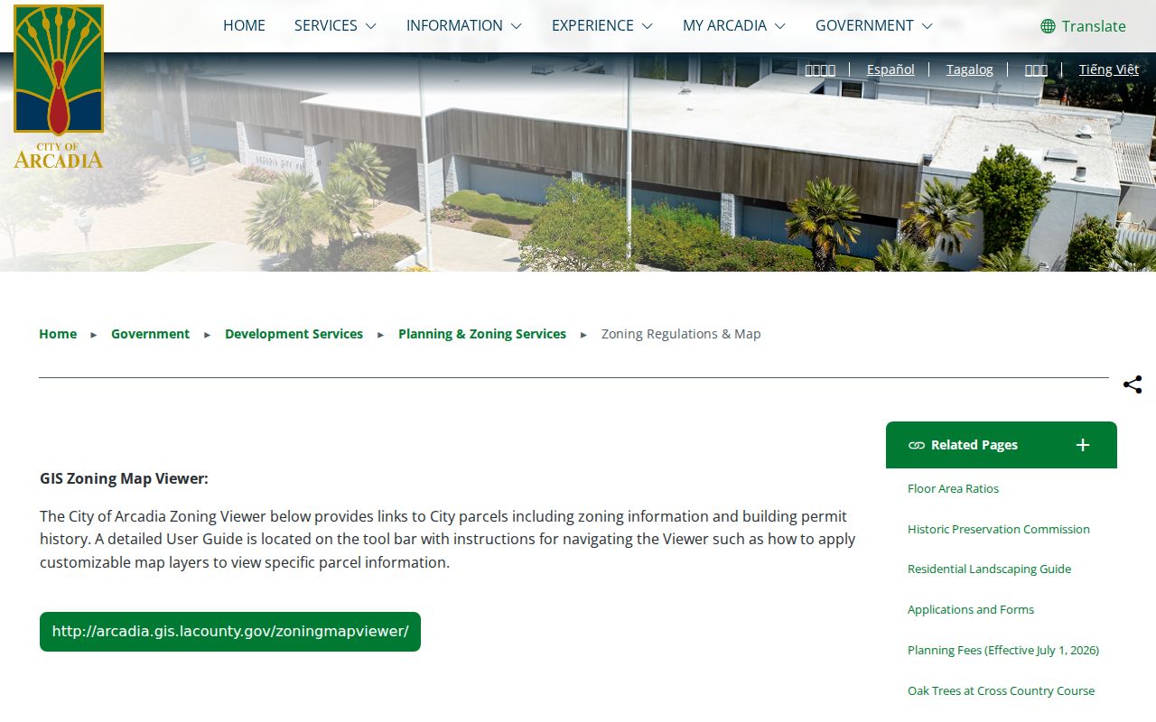
The Arcadia city map guidance shows how a parcel can lead to zoning and permit information, which adds project history to an Arcadia street directory search.
Arcadia Records Available by Street
Arcadia address-keyed sources do not all describe the same person. The property roll describes a taxable parcel. GIS shows land and planning layers. Permits name people connected to a project. A recorder index follows parties to documents, but only after a name and year are known. Voter and reverse-directory sources can add Arcadia household clues under their own access limits.
| Record Set | Keeper | What It Shows | Access |
|---|---|---|---|
| Arcadia assessment parcel | LA County Assessor | AIN, situs, values, land and building facts | Free address or AIN portal |
| Arcadia GIS parcel map | LA Assessor and Arcadia | Parcel shape, adjacent AINs, zoning, linked permits | Free map viewers |
| Arcadia deeds and liens | LA County RR/CC | Grantors, grantees, transfers, liens, easements | Name/year index by appointment |
| Arcadia building permits | Arcadia Building Services | Work dates, applicant, owner, contractor when releasable | City files or request |
| Arcadia street voter index | LA County elections | Registered voters under a qualifying purpose | Contract and legal restriction |
| Arcadia reverse directory | Arcadia History Room | Listed householder or phone at a publication date | Appointment; edition dependent |
Keep the Arcadia AIN as the bridge between parcel pages, tax information, permits, and legal descriptions. Keep names and years as the bridge into deeds. Keep an exact Arcadia publication year beside every directory entry. That simple separation prevents an owner, applicant, voter, or listed householder from being treated as the same person without proof.
Arcadia Street Records Have Three Address Fields
An Arcadia situs address identifies the physical parcel. An Arcadia mailing address receives tax correspondence. The two can differ because the correspondence may go to another property, an office, a trust, or a manager. The public assessor result suppresses the complete mailing and ownership fields, so an Arcadia street directory should never fill that gap with a guess.
- Parcel
- An Arcadia mapped taxable unit identified by an AIN and legal description. A parcel may hold several units.
- Situs address
- The Arcadia physical location assigned to the land for assessment and service purposes.
- Legal description
- The Arcadia tract, lot, map, or other land wording that can preserve identity when a number changes.
- Plat or map index
- An Arcadia recorded or assessment reference that helps compare parcel shape, subdivision, and lot relationships.
Use an owner-occupancy or exemption flag only as a clue. It is not a complete or current Arcadia residents directory. Arcadia household evidence must come from a separate lawful source.
Arcadia Permit Files Add Project History
Building and planning files can explain why an Arcadia parcel looks different from its neighbors. Arcadia Building Services says past permits can be looked up through its instructions, while the zoning viewer links parcels to zoning and permit history. A public file may identify a work date, project description, owner, contractor, or applicant. The city does not keep single-family floor plans, although commercial and multifamily plans are retained. An Arcadia permit therefore adds a project event, not a complete list of residents.
Arcadia EDGE is the submission channel for plans. When an Arcadia file is not visible, request the identifiable permit or planning packet from the proper department. Include the address, project number if known, date span, and record type. The city’s public-records process can produce existing records, subject to exemptions and redactions.
Arcadia’s address rule is a useful continuity clue. House-number changes are generally not allowed except for new construction, new multifamily units, or a corner-home remodel that reorients the home toward another street.
The Arcadia Building Services permit guidance explains the public history and addressing limits.
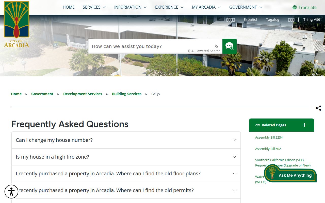
Arcadia permit guidance helps date an alteration or applicant while keeping the record’s narrow purpose clear.
Note: An Arcadia permit applicant may be an owner, contractor, or authorized representative, so the name needs an independent identity anchor.
Arcadia Street Deeds Need a Name Search
The Arcadia Los Angeles County RR/CC real-estate index is alphabetical by name and recording year. It is not searchable by street address or AIN, and no public Internet index substitutes for the Norwalk counters. Records from 1851-1957 are on the lower level; records from 1958-present are on the second floor, Room 2207. Appointment windows open several weeks ahead.
Once the Arcadia parcel trail supplies a current owner or document clue, search that name as a grantee in a likely year. Read the deed’s grantor, recording date, document number, title, and legal description. Then search the earlier grantor as a grantee. Check spelling variants, trusts, spouses, and entity names. An Arcadia document image can show a legal description and return or mailing information subject to redaction.
The RR/CC record-index guidance explains the counter arrangement. Use the county property-tax portal only for its AIN-based function; it does not turn the recorder into an address search.
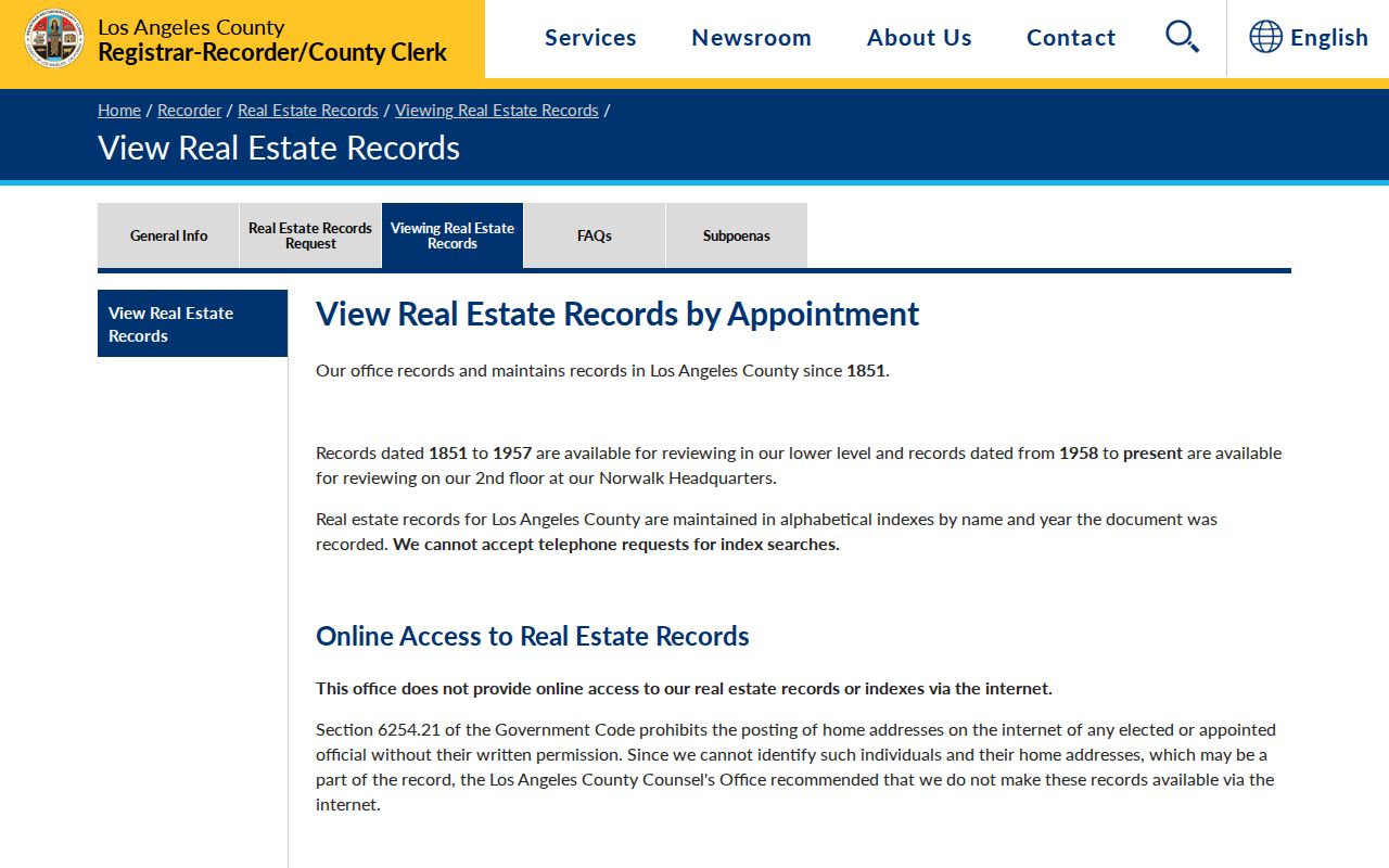
The Arcadia recorder guidance makes the address-to-name handoff explicit, which is the key distinction in any Arcadia street directory search.
The Los Angeles County property-tax portal is a separate AIN-based check for assessment and payment-status clues.
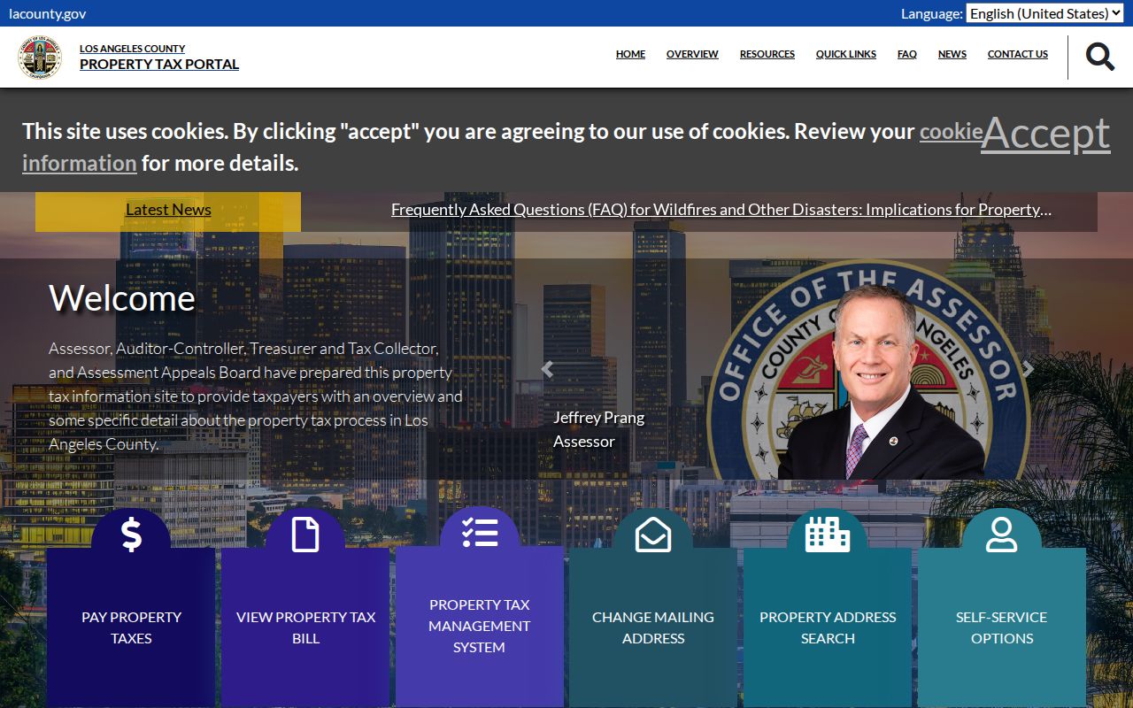
The Arcadia tax portal can support parcel continuity, but it does not change the recorder’s name-and-year access rule.
Reverse Directories Put Arcadia Homes in Order
The History Room’s Arcadia city-directory collection runs from 1923-present, although staff must confirm missing volumes and which editions include reverse sections. An Arcadia criss-cross or reverse section changes the order from surname to street and house number. It can show a listed householder or telephone entry for a publication year and may place nearby addresses side by side. The entry is not an ownership record and is not guaranteed to cover every household.
Transcribe the Arcadia street number, street spelling, name, occupation, spouse mark, phone, and edition. Photograph the title and abbreviation pages when permitted. Search both the surname section and the reverse section. Pair a disappearance with the obituary and newspaper files before deciding whether the person moved or died. The full shelf, entry abbreviations, and family-history method are covered in the Arcadia city directory collection reference.
For an Arcadia street-wide historical pass, record one publication year at a time. Do not blend a 1960 listing with a current parcel result without labeling the time gap.
Arcadia Voter Street Index: Narrow Use
The public Arcadia voter-status tool does not list everyone at an address. A legally obtained LA County Street Index may arrange registered-voter names by street or precinct, but the county sells voter and election files under contract and restricts use. A general-public street index is available for political purposes only, with product fees and handling charges described by the elections office. Orders go to Election Information, 2nd Floor Room 2013, 12400 Imperial Highway, Norwalk.
That source can establish Arcadia registered-voter presence along a street for an approved political, scholarly, journalistic, election, or governmental purpose. It cannot show children, nonvoters, ballot choices, renters as a class, or a complete household. Elections Code sections 2188 and 2194 and related rules prohibit commercial use and misuse. The self-verification page is the proper route for a person checking their own status.
Note: A street index is a restricted election product, not a casual Arcadia street directory and not a substitute for the assessor or library.
What an Arcadia Street Directory Cannot Show
Arcadia property rolls do not list every occupant. Deeds list parties to instruments. Permits list people connected to work. Reverse directories can lag publication and omit unlisted households. DMV information is protected by the federal Driver’s Privacy Protection Act, and utility customer records are not a public street list. Safe at Home participants can use a substitute address and confidential voter registration. Renters, lodgers, minor children, and protected residents may remain outside a lawful public search.
Lawful use. Arcadia address records support personal research, family history, property curiosity, and civic questions. Do not use a street trail to stalk, harass, intimidate, or harm anyone.
Use the smallest Arcadia source that answers the question, keep dates and record roles visible, and confirm material facts with the custodian. That is how an Arcadia street directory remains useful without turning a parcel map into a claim about private people.